Verified: updated on
Singapore Surveying and Mapping Exhibition
Geo Connect Asia
- Dates
- Show Hours:
- Highlights
- A regional specialized trade show focused on the geospatial and location services sector.

Group tour

Airport transferLocal receptionEntry badge4-star hotelBusiness mealsFull transportSightseeing
Exhibition Data
- 1/1
- Edition
- 11000㎡
- Exhibition area
- 218
- Exhibitors
- 9800
- Visitors
Singapore Survey Expo Details
- Industry:
- Survey fairSingaporeSurvey fair
- Organizer:
- Montgomery Events Asia
- City:
- Singapore
- Venue:
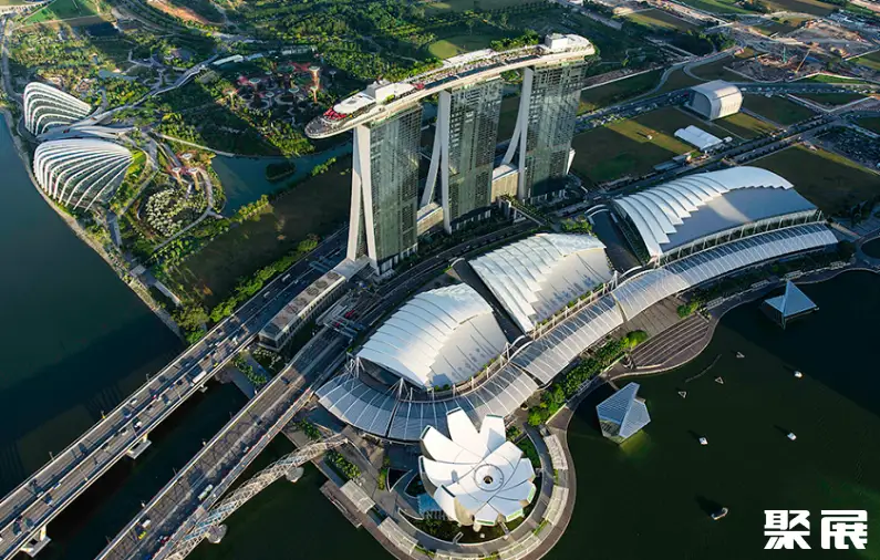
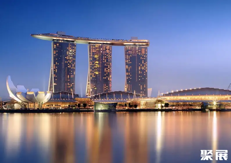
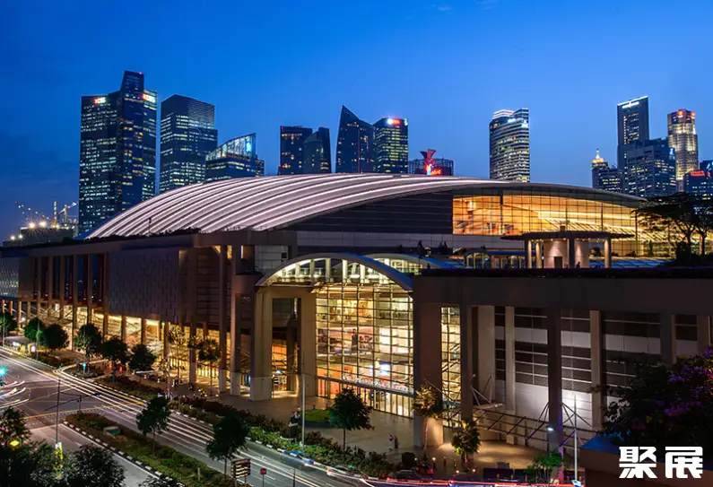
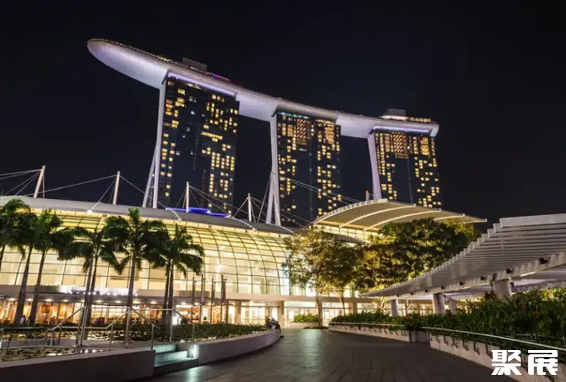
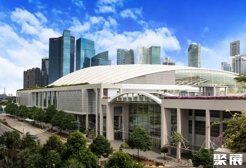
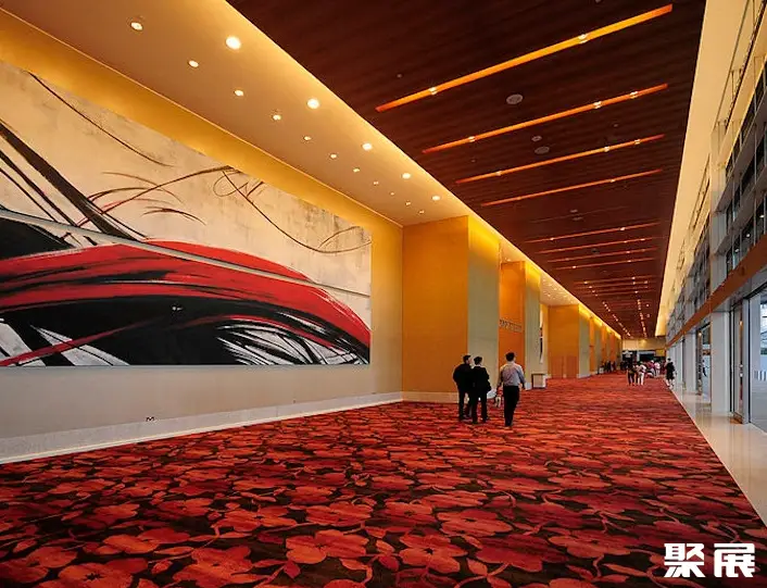
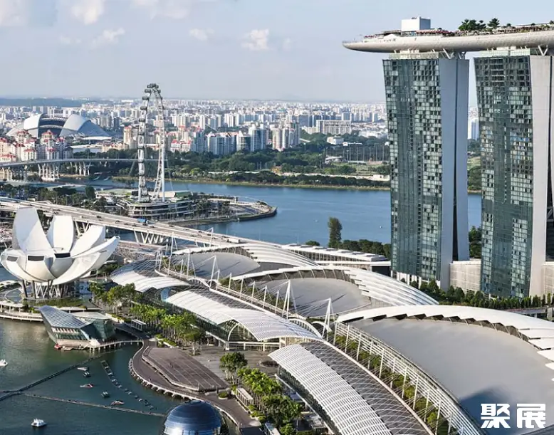
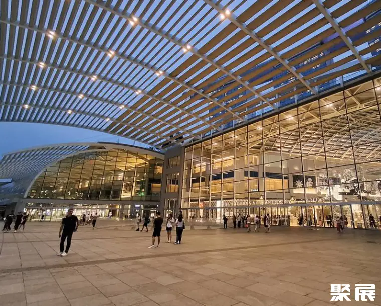
- Sands Expo & Convention Centre
- Address:
- 10 Bayfront Avenue, Singapore, Singapore
Profile
The Singapore Geo Connect Asia exhibition is the most authoritative geospatial event in Southeast Asia. It serves as an ideal platform for addressing the key challenges faced at national, regional, and global levels in deploying cutting-edge geospatial and location-based solutions.
Trust in data lies at the heart of every conversation. Understanding its provenance, sovereignty, and neutrality forms the foundation for building resilient solutions and instilling confidence in decision-making processes. From critical infrastructure planning to on-site data collection, Geo Connect Asia focuses on empowering governments, enterprises, defense organizations, research institutions, and technology platforms with enhanced decision-making capabilities.
As proprietary geospatial technologies become increasingly integral to government decision-making, businesses and non-profit organizations annually convene an event that seamlessly integrates thought leadership with technological innovation. Situated at the nexus of the ASEAN region—home to over 650 million people and projected to become the world’s fourth-largest economy by 2030—Singapore Geo Connect Asia provides an ideal venue for sharing regional insights and best practices.
The Singapore Geo Connect Asia is a trade-show–driven, in-person event featuring robust on-site programming designed to engage regional audiences. Complemented by one-on-one outreach initiatives and targeted buyer invitations, the organizers have made significant investments in comprehensive promotional campaigns across the entire region.
From underground, land, and sea to the skies, government agencies, enterprises, and non-profits throughout Asia are mainstreaming geospatial applications, yielding ever-growing impacts. The Singapore Geo Connect Asia anticipates that 30% of its attendees will hail from broader Asian markets.
Singapore Surveying and Mapping Exhibition tickets are e-tickets. Domestic and international visitors must complete online pre-registration with real-name passport verification. After purchase, the organizer verifies visitor identity. Visitors who do not meet entry requirements may need to submit additional documents. Once approved, you will receive email confirmation or a QR code. On site, present your original passport and confirmation letter to collect a paper badge, or scan the QR code to enter.
Singapore Surveying and Mapping Exhibition Range
Is my product suitable?Unmanned Aerial Vehicles and Aerial Mapping
LiDAR and Optical Measurement
Navigation, Positioning, and Inertial Navigation Technologies
Geographic Information and Software Services
Remote Sensing and Satellite Technologies
Mobile Mapping and Data Acquisition
Smart Hardware and Supporting Equipment
Industry Applications and Solutions
Booth Sales

Ms. ZengGold-Medal PM
3 Years Booth Sales
2027 Singapore Survey Ticket Sales

Mr. HanGold-Medal PM
3 Years Booth Sales
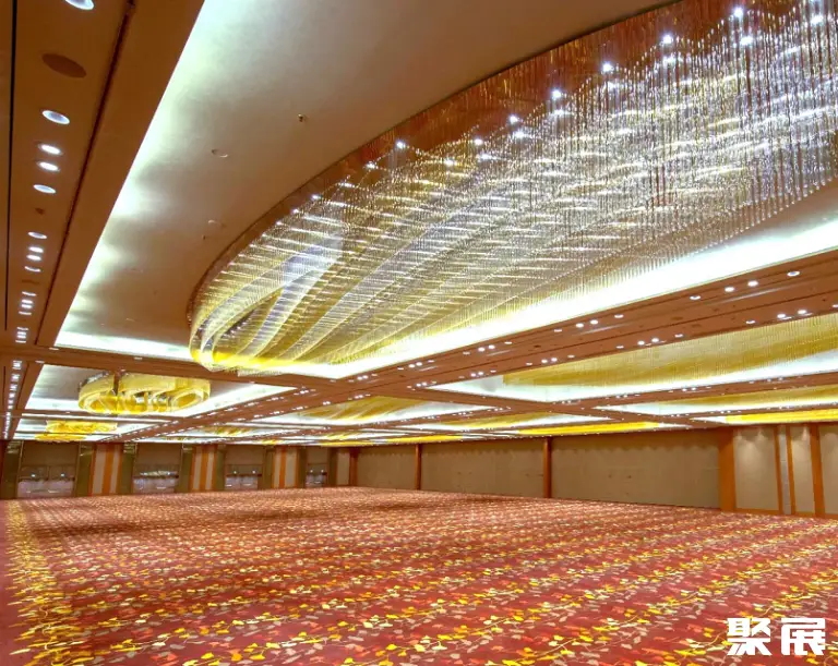
Singapore Survey Venue


Singapore Survey Booth Price
Process
- 1.Submit the business license of the company
- 2.Submit product picture and name
- 3.Receive exhibition presentation documents and booth drawings
- 4.Submit booth application form/Sign booth contract
- 5.Pay the contract booth deposit
- 6.Prepare for exhibition