Verified: updated on
HOT
INTERGEO – International Exhibition for Mobile Mapping, Unmanned Systems, and Spatial Data in Frankfurt, Germany
INTERGEO
- Dates
- Show Hours:
- Highlights
- The world’s largest and most influential international trade show for the surveying mapping and geospatial information industries.

Group tour
Airport transferLocal receptionEntry badge4-star hotelBusiness mealsFull transportSightseeing
Exhibition Data
- 1/1
- Edition
- 30000㎡
- Exhibition area
- 530
- Exhibitors
- 18500
- Visitors
Frankfurt Survey Expo Details
- Organizer:
- HINTE Expo & Conference GmbH
- Venue:
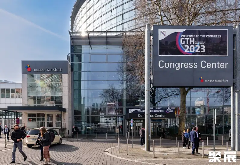
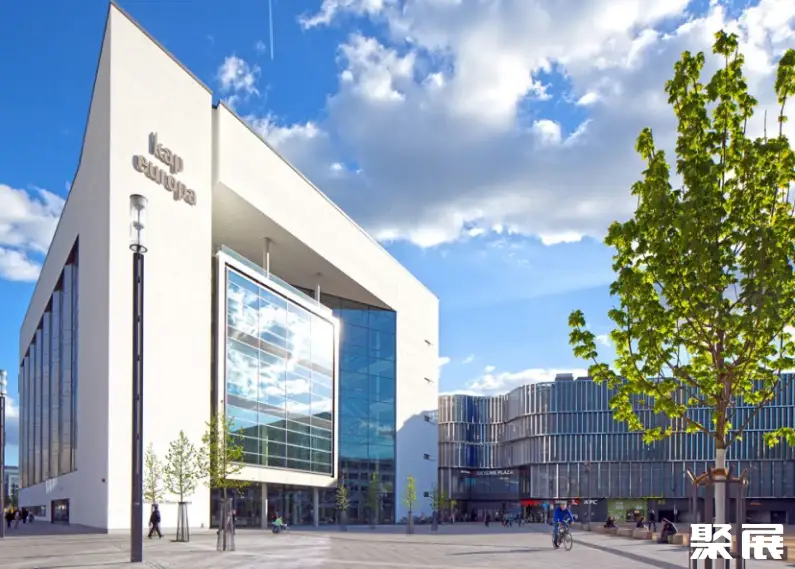
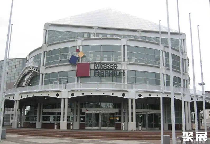
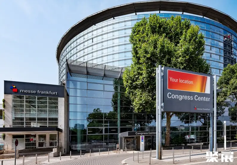
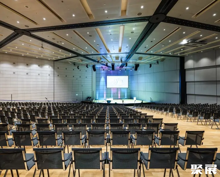
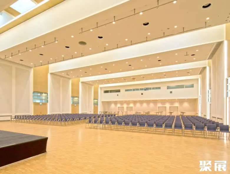
- Congress Centre Frankfurt
- Address:
- Ludwig-Erhard-Anlage 160327 Frankfurt a. M. Germany
Profile
INTERGEO, the International Exhibition for Mobile Mapping, Unmanned Systems, and Spatial Data held in Frankfurt, Germany, is the world’s largest event dedicated to the surveying and mapping sector. Organized by the German Association for Surveying, Geoinformation, and Land Management, INTERGEO stands as a globally recognized authority within the measurement industry, providing an exceptional platform for experts from fields such as geodesy, geoinformatics, and land management to exchange ideas and insights.
This year’s edition attracted over 18,500 professional visitors from nearly 120 countries, alongside 530 exhibitors. Covering topics ranging from artificial intelligence and digital twins to unmanned systems and big geospatial data, the show has become a central hub for innovation across the global geoinformation landscape.
At INTERGEO, the geoinformation industry is no longer merely documenting the world—it is actively shaping its future. As Olaf Freier, Managing Director of HINTE Exhibitions & Conferences, remarked: “This event does not just showcase trends; it heralds a new beginning—toward a sustainable, intelligent, and interconnected planetary future.”
This leading international trade fair for surveying, mapping, geoinformation, and land management draws participants from across the global geospatial community and diverse application domains leveraging geospatial data.INTERGEO, the International Exhibition for Mobile Mapping, Unmanned Systems, and Spatial Data in Frankfurt, Germany,has once again affirmed its position as a premier international forum for geodesy, geoinformatics, and land management.
Juzhan has repeatedly facilitated participation by select high-quality enterprises! As a market leader, INTERGEO brings together the geospatial community and fosters meaningful connections with industry stakeholders.
INTERGEO – International Exhibition for Mobile Mapping, Unmanned Systems, and Spatial Data in Frankfurt, Germany tickets are e-tickets. Domestic and international visitors must complete online pre-registration with real-name passport verification. After purchase, the organizer verifies visitor identity. Visitors who do not meet entry requirements may need to submit additional documents. Once approved, you will receive email confirmation or a QR code. On site, present your original passport and confirmation letter to collect a paper badge, or scan the QR code to enter.
Partial exhibitor directory and exhibitor list for INTERGEO – International Exhibition for Mobile Mapping, Unmanned Systems, and Spatial Data in Frankfurt, Germany: Blue Marble Geographics, IABG MBH, YellowScan, Advanced Navigation, u-blox AG, Herzog GMBH, and others. The 2027 edition is expected to feature 500+ exhibiting companies. To obtain the full exhibitor directory (including booth numbers and contact details), please visit the official exhibition website or contact Jufair.
INTERGEO Exhibitior List
INTERGEO – International Exhibition for Mobile Mapping, Unmanned Systems, and Spatial Data in Frankfurt, Germany Range
Is my product suitable?Precision Surveying and Mapping Technologies
Geospatial Data
Intelligent Data Collection
Buildings and Infrastructure
Cutting-Edge and Convergent Technologies
Booth Sales

Ms. LiGold-Medal PM
3 Years Booth Sales

Ms. LiuGold-Medal PM
3 Years Booth Sales

Ms. ZengGold-Medal PM
3 Years Booth Sales
2027 Frankfurt Survey Ticket Sales

Mr. HanGold-Medal PM
3 Years Booth Sales

Ms. LiuGold-Medal PM
3 Years Booth Sales
Frankfurt Survey Venue
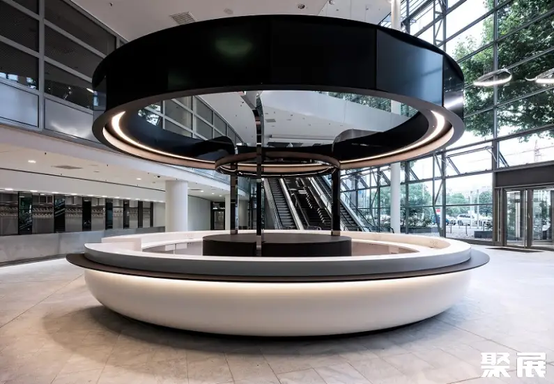
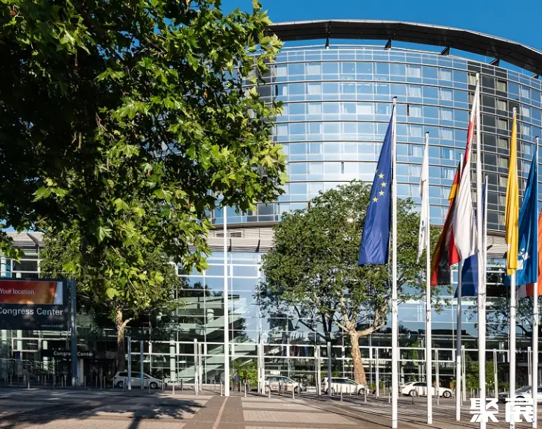
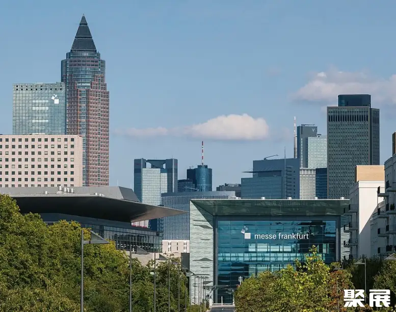
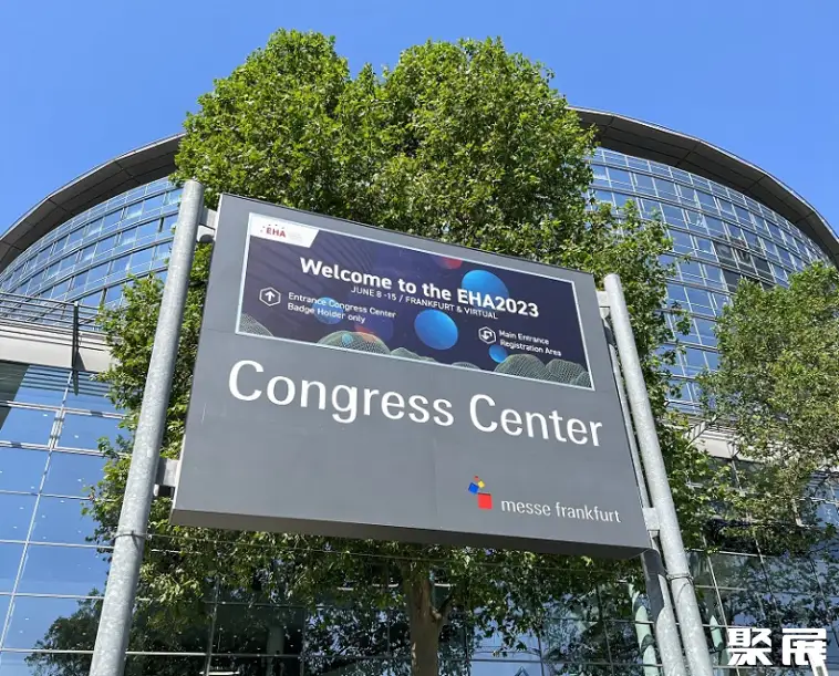
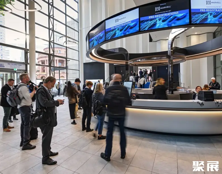
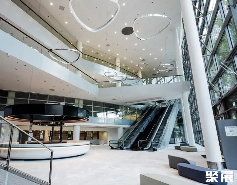
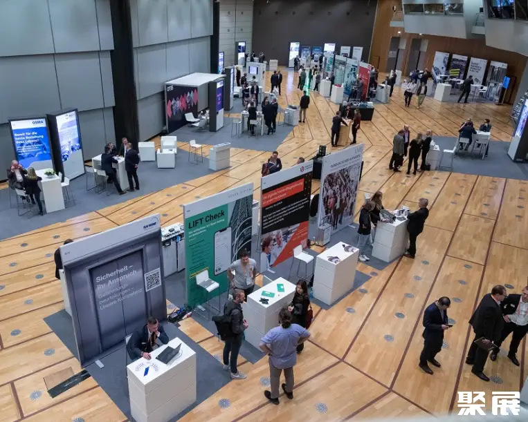
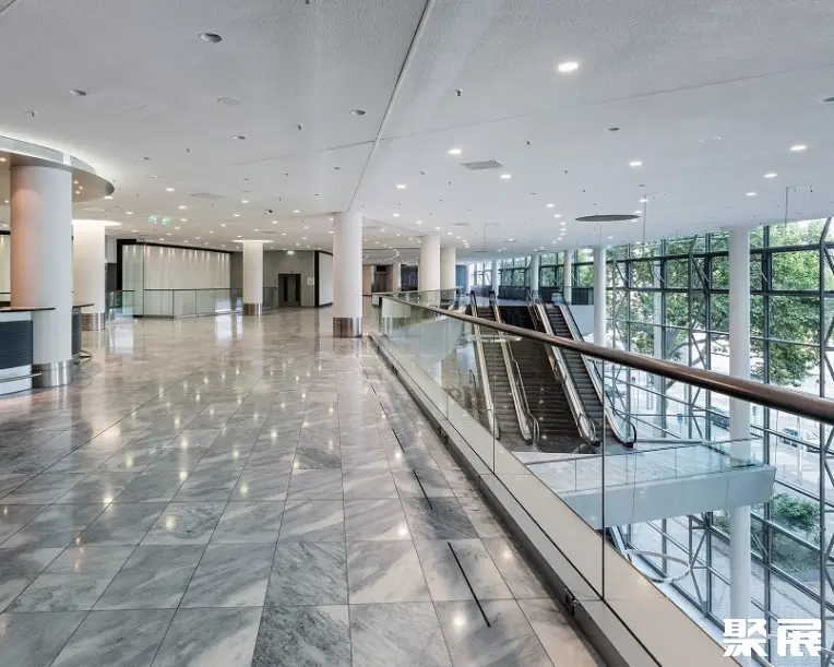
Venue transport
- Metro / rail
Messe Station: This station primarily serves S-Bahn lines S3 through S6, as well as lines S8 and S9, offering convenient direct access from Frankfurt Central Station and Frankfurt Airport.
Festhalle / Messe Station: This station mainly serves U-Bahn lines U4 and U5, along with tram lines 16 and 19.
Notes: Many Frankfurt trade fair admission tickets include a day pass for public transport within the Frankfurt metropolitan area, allowing free travel on all local public transportation services.
- Air
From Frankfurt International Airport (FRA): Take the S8 or S9 train from Terminal 1 to the “Messe” station, which provides direct access to the city center and the exhibition grounds. The journey takes approximately 15–30 minutes.
- Train
From Frankfurt Central Station (Hauptbahnhof): The exhibition venue is just a few hundred meters away, reachable on foot in approximately 10 minutes.
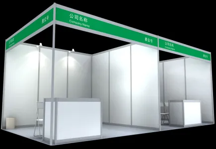
Frankfurt Survey Booth Price
Process
- 1.Submit the business license of the company
- 2.Submit product picture and name
- 3.Receive exhibition presentation documents and booth drawings
- 4.Submit booth application form/Sign booth contract
- 5.Pay the contract booth deposit
- 6.Prepare for exhibition