UK London Geospatial ExhibitionGEO Business
UK London Geospatial Exhibition Profile
The UK London Geospatial Exhibition (GEO Business) is one of the most authoritative geospatial exhibitions in Europe. Designed for all those involved in collecting, storing, processing, and delivering geographic information, it is the largest geospatial exhibition in the UK. Attendees can listen to industry experts introduce and discuss the latest industry trends, explore leading geospatial company exhibitions, participate in consecutive seminars and business forums, as well as various innovative social activities.
The previous UK London Geospatial Exhibition GEO Business covered an area of 20,000 square meters with 400 participating companies from China, Germany, the United States, Russia, Dubai, India, Turkey, Poland, etc., attracting a total of 13,144 visitors. The main audience group for this exhibition are government units and professional manufacturers from various countries with purchasing intentions, who come to purchase and negotiate. This exhibition is only open to professional audiences.
The UK London Geospatial Exhibition GEO Business provides a great platform for professionals in fields such as surveying, geographical information, and land management. (The content of this article belongs to Juzhan.com and shall not be forwarded without permission.)
Exhibitor List
UK London Geospatial Exhibition Range
Geospatial Solutions: Intelligent transportation solutions, underground pipeline planning and design management solutions, smart digital garden solutions, commercial real estate project space planning and management solutions, deformation monitoring system solutions, satellite remote sensing image data acquisition, processing and service solutions, etc.
High-tech Geospatial Information Equipment: Surveying application satellites, high-altitude aerial photography aircraft, low-altitude surveying drones, surveying unmanned boats, mobile measurement vehicles, measurement robots, laser 3D scanners, airborne LiDAR, photogrammetry cameras, etc.
Traditional Surveying Equipment: RTK, total station, electronic theodolite, electronic level, optical theodolite, optical level, laser pointer, leveling instrument, vertical alignment instrument, area measuring instrument, laser distance meter, distance telescope, GPS navigator, GIS handheld device, rulers, drawing instruments, geological compasses, rebound hammers, etc. (The content of this article belongs to and shall not be forwarded without permission.)
Equipment Accessories: Level bubbles, tower rulers, flower poles, data lines, special batteries, screws for surveying instruments, optical lenses and components, tripods, explosion-proof boxes, maintenance equipment for surveying instruments, etc.
UK London Geospatial Exhibition Booth Sales

UK London Geospatial Exhibition Ticket Sales

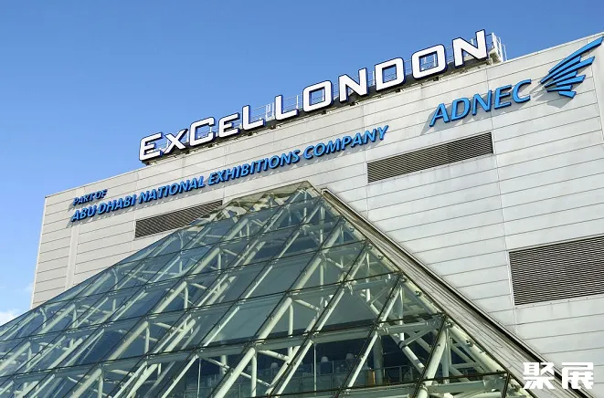
UK London Geospatial Exhibition Venue
UK London Geospatial Exhibition Booth price

Standard booth Configuration

Blank booth Configuration
UK London Geospatial Exhibition Process
1.Submit the business license of the company
2.Submit product picture and name
3.Receive exhibition presentation documents and booth drawings
4.Submit booth application form/Sign booth contract
5.Pay the contract booth deposit
6.Prepare for exhibition


